 |
 |
|
|
|
Directions: In this investigation you will work with your partner to examine
the process that causes rock layers to fold.
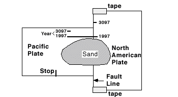
1. Check that the lines marked "1997" are lined up. 2. Place about 100 ml of sand on your plate model as in the picture
above. 3. Smooth the sand into a thin layer. 4. Slowly slide the Pacific Plate along the "1997" line until "Stop" is even with the edge of the North American Plate.
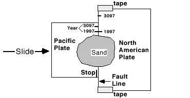 Do not move your plate model. Do not move the sand. Record your notes and observations on the Rock Layer-Data Sheet Part 1 The Fault Line-Part B 1. Without disturbing the sand from Part A, line up the lines
labeled 1997 on both plates. Your model should look like the drawing
below. 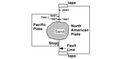 2. Slowly slide the paper marked "Pacific Plate" until the lines marked "3097" are lined up. 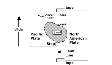 3. Record your notes and observations on the Rock Layer-Data Sheet. Part 1 Investigating the Fault Line-Data
Sheet Rock Layer - Data Sheet
Directions: Use your own notes and observations from your Rock Layer - Data
Sheet to answer the following questions. Your answer will be graded
on how well you show your understanding of science and on how well
you can explain it to others. You may include a picture to help
explain your answer. 1. Describe what happened to the sand when you slid one plate
beneath the other. 2. Based on your observations of plate movements, explain how
mountains are made. 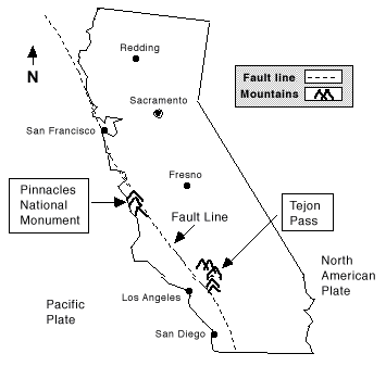
|
|||||||||||||